
Upper Providence Township ZIP Codes in Use
The Upper Providence Township postal reference starts with confirmed labels used by Township or county materials, rather than treating the Township as a one-ZIP place. Four labels have current official local evidence. A fifth, 19453 for Mont Clare, is a historic-geography lead but lacks the full-address postal confirmation needed to call it blanket Township coverage. Use the table as a verification aid, not as a boundary map.
| ZIP | Local evidence | Postal label | Record check |
|---|---|---|---|
| 19426 | Township Community Center polling place and a land-development application | Collegeville | Confirm municipality 61 because the label can also describe nearby areas |
| 19456 | County municipal-contact and Police-directory references | Oaks | Use the physical address and parcel for Township status |
| 19460 | Township Administration at Black Rock Road and tax-collector material | Phoenixville | Postal city does not make the address Phoenixville municipal jurisdiction |
| 19468 | Mingo and Trappe polling-location labels | Royersford | Search with Upper Providence Township plus the address or parcel |
| 19453 | Mont Clare is part of historic Township geography | Mont Clare | Unconfirmed gap: verify a complete address with USPS first |
A postal label cannot turn into a municipal answer. Upper Providence Township remains the governing locality when the county parcel record shows municipality 61, whether the address prints Collegeville, Oaks, Phoenixville, or Royersford.
Verify an Upper Providence Township ZIP Code
The first check is the USPS ZIP Code Lookup. Enter the complete physical street address, not a community name alone, and preserve the USPS-formatted result with the address you searched. This step answers the mail-delivery question. It does not state whether the parcel lies within Upper Providence Township, and it does not identify people associated with the address.
The official USPS address lookup is the source for the postal verification step.
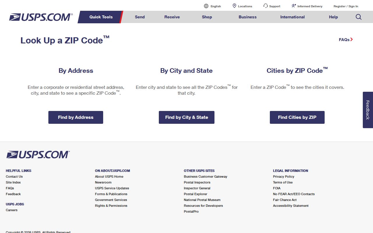
Use the complete-address result as the first record in a short research log. Follow it with the county property portal and the parcel municipality, rather than assuming the USPS city label determines government jurisdiction.
Upper Providence Township ZIP Record Workflow
A postal reference is most useful when it narrows an address question without claiming a ZIP-wide people search. The documented process is address-specific. It connects the delivery ZIP to a county parcel and then to the proper custodian for the question at hand. The county property portal, map, voter tools, and Recorder each have separate modes and legal limits.
- Run the complete physical address through USPS and note the returned postal ZIP and city label.
- Use Montgomery County Property Records by address or known parcel. Confirm Upper Providence Township through municipality 61.
- Use the County map search only to orient the parcel or resolve a selected parcel ID.
- For a recorded transaction, continue to the Recorder Public Access System by address, parcel, or recorded party. For a public planning record, use the Township premises and date range.
- When the question becomes street-specific, use the Upper Providence Township street directory workflow instead of trying to turn the ZIP into a parcel list.
No verified County property, GIS, or voter portal ZIP filter was located. The workflow remains a way to verify one address, not an invitation to generate a Township-wide list from a postal code.
Keep the sources in the order they answer the question. USPS resolves the delivery label for the precise address. The county portal supplies the parcel route and municipal context. The map can orient that parcel without expanding the search into a broad radius. The Recorder then addresses a documented transfer or plan question, and Township Planning or a focused public-record request addresses a defined local file. A postal label can be retained as an alias in the research notes, but it should never replace the physical address, parcel ID, or legal description that the custodian uses.
Upper Providence Township Property ZIP Limits
County Property Records is the jurisdiction check after USPS, but the verified menu does not publish a ZIP search. It supports address and parcel queries, and its owner-name search was removed on June 17, 2022. Advanced, map, and sales modes are also visible, but the underlying address, parcel, and advanced fields were not exposed during a maintenance and disclaimer gate. The accurate description is a property portal with address-oriented modes, not a ZIP directory.
| Verified portal mode | Use for ZIP workflow | What the research confirms |
|---|---|---|
| Search by Address | Check a complete USPS-verified address | Available county search mode; internal fields were not inspected |
| Search by Parcel | Confirm a known parcel | Available county search mode; municipality 61 is the local cross-check |
| Advanced Search | Inspect live options after maintenance clears | Mode is shown; do not infer a ZIP or owner field |
| Map Search | Orient a selected parcel | Parcel ID, selection, and buffer controls are documented |
| Sales Search | Review the available sales mode cautiously | Visible separate mode; not proof of title |
The County Property Records access page confirms the address-or-parcel limitation. Record only labels actually present on a live result. A situs is the property location, while a mailing address is where tax correspondence is sent, and the two should not be treated as the same fact.
The County property-records page is the source for the portal-access limitation.
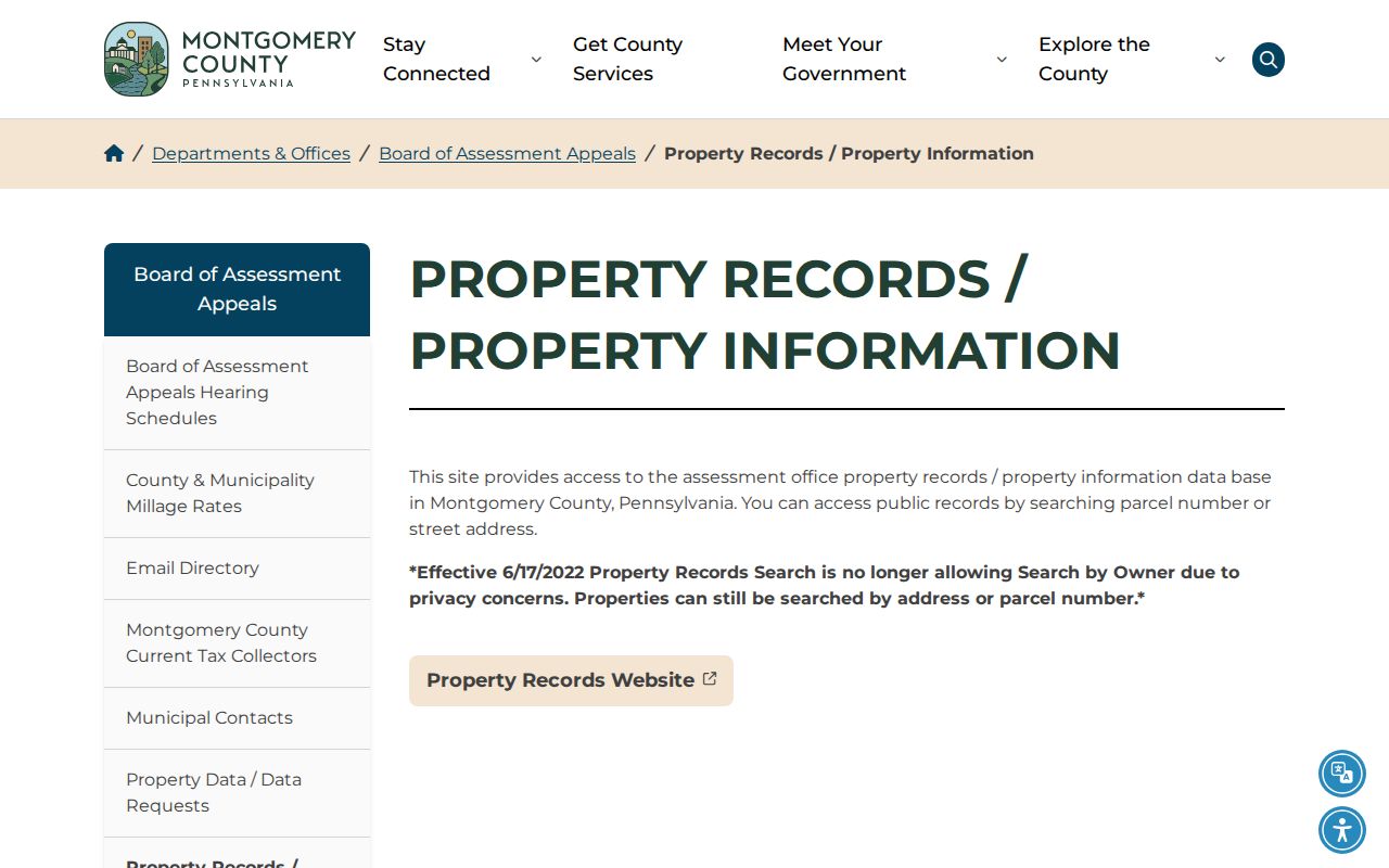
This official page supports the address-and-parcel route used to check jurisdiction after USPS validation. It does not supply a verified ZIP filter or a municipal resident list.
Upper Providence Township Election Postal Labels
Polling information offers a concrete view of the local postal overlap. Upper Providence Township’s official election page places Mingo and Trappe locations under Royersford 19468, its Mont-Clare Community Center under Collegeville 19426, and its Oaks location at the Township Administration Building under Phoenixville 19460. Those are mailing and polling-location labels. They do not reveal individual voter identities or change the municipality responsible for a property record.
Review the Upper Providence Township voting and election information for the official polling-place context.
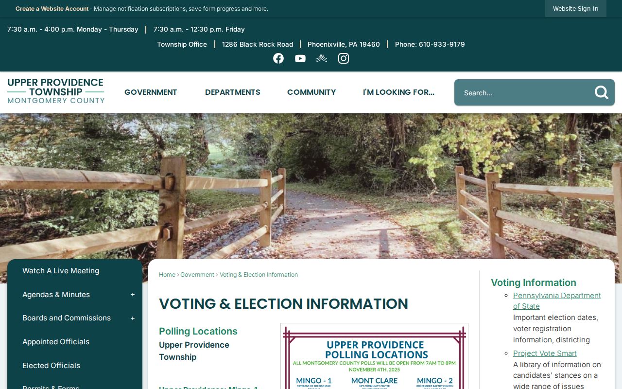
The published polling information demonstrates why one Township can appear under several postal communities. It is not a ZIP filter, a voter directory, or proof that a location lies in another municipality.
The Pennsylvania voter-status tool is for an individual to check registration status. Statutory voter lists have separate written certification and purpose restrictions, so neither route should be reframed as an unrestricted postal lookup.
Montgomery County Voter Services provides the County’s registration, polling-place, ballot, and district-map contact channel when an online status route is not available.
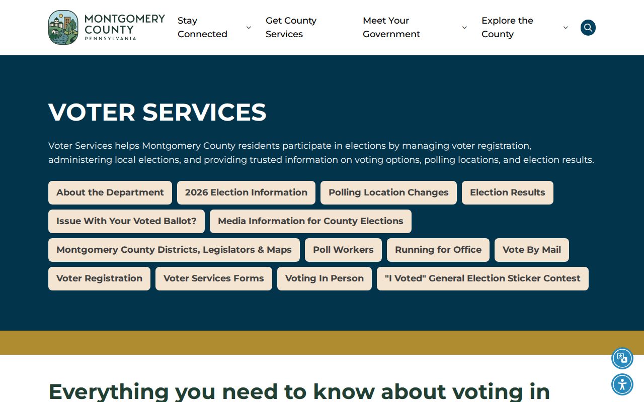
Its contact page is a county fallback for a registration question, not a source for a ZIP-wide voter directory.
Upper Providence Township Tax Mailing Context
Tax administration adds another reason to preserve both postal and parcel details. The Township’s elected tax collector handles current-year county, school, and Township real-estate tax collection, while Montgomery County handles delinquent real-estate taxes. The Township’s own tax page uses the Phoenixville 19460 physical-office label. County municipal-contact material uses Oaks 19456. Neither label substitutes for the county parcel municipality.
The Upper Providence Township real-estate taxes page is the local source for the current-year collection channel.
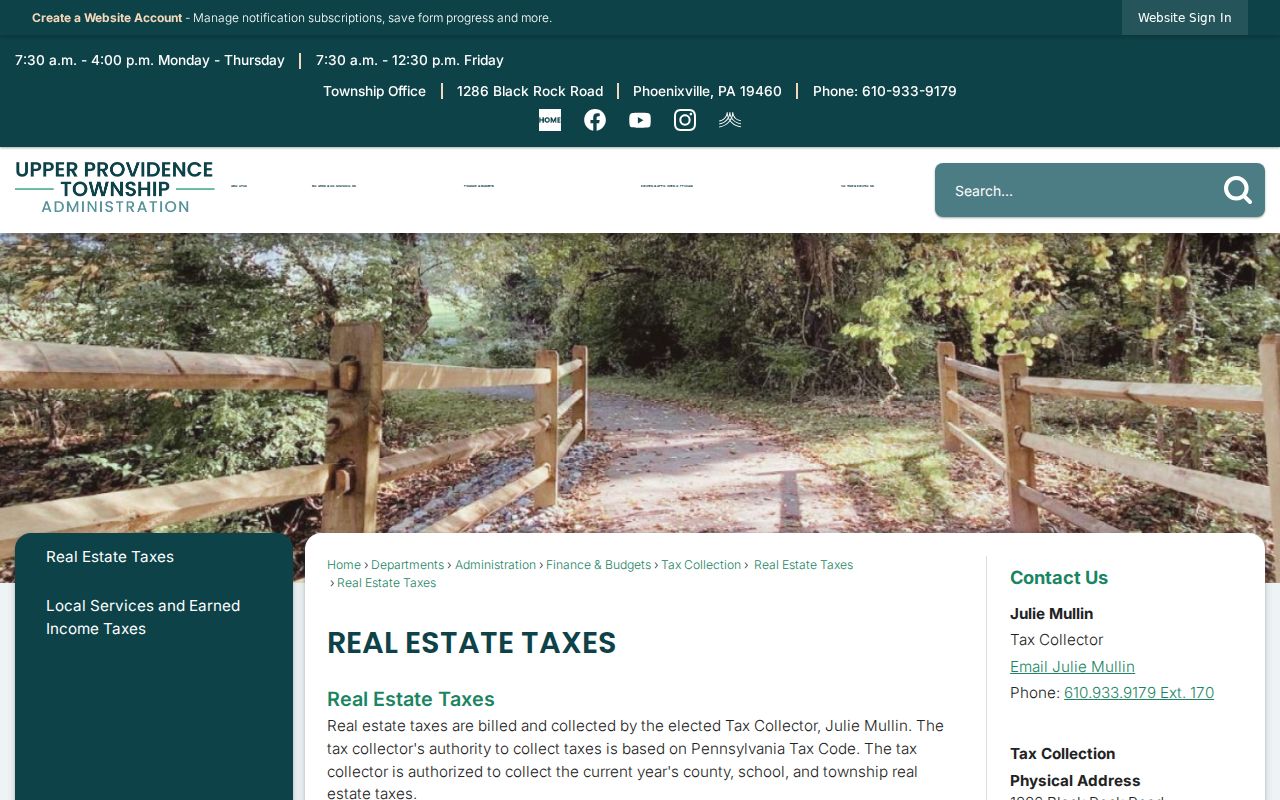
The tax page gives a useful local mailing-label example. A tax bill or mailing address can point to a correspondence route, but it is not proof of occupancy or personal residence.
Note: For a delinquent-tax question, begin with the County’s delinquent-real-estate-tax channel and identify the specific parcel and year.
Historic Villages Behind Township ZIP Codes
Upper Providence Township has older place names beneath its current postal labels. The official history identifies Trappe as formerly Landau, Collegeville as Perkiomen Bridge and later Freeland, and Port Providence as Jacobs and then Lumberville. Arcola, Oaks, and Yerkes were railroad-era places. A nineteenth-century deed, tax list, census, or directory can favor one of those labels over the Township name or a current mailing city.
The Township history is the source for the place-name trail. When an older record uses an unfamiliar village name, compare the legal description, parcel geography, and adjacent landmarks before converting it to a present postal ZIP. No official source located a Township-wide ZIP realignment year or ZIP-level population statistics.
Upper Providence Township ZIP Code Definitions
Postal terminology can obscure an otherwise simple address check. The Upper Providence Township reference uses USPS for delivery verification and County Property Records for municipal and parcel confirmation. The terms below describe mail-routing tools, not government districts or proof that someone lives at an address.
For a historic address, preserve the exact locality printed by the original source alongside the current postal result. Trappe may appear as Landau, Collegeville as Perkiomen Bridge or Freeland, and Port Providence as Jacobs or Lumberville. Those names explain why a search form that accepts only a current postal city may fail to surface an older record. County records that identify the parcel, plan, or legal description provide the safer bridge between a historic place name and a modern delivery label. No verified Township-wide readdressing program or general postal-boundary change was located.
- ZIP
- A Postal Service delivery-routing code associated with an address or mailing location. It does not set Township or county jurisdiction.
- ZIP+4
- An added four digits that help route mail more precisely within a ZIP area. It does not replace the complete street address.
- PO-box ZIP
- A ZIP assigned for post-office-box delivery. It may differ from the physical property’s delivery ZIP.
- Carrier route
- A Postal Service delivery grouping used for mail distribution. It is not a parcel, voter, or municipal-boundary layer.