
Trace Upper Providence Township Streets by Address
A useful Upper Providence Township address trail follows a narrow chain of records, not a broad name search. Begin with a complete physical address plus Upper Providence Township, Montgomery County. The county identifies the Township as municipality 61, a valuable check when Phoenixville, Oaks, Collegeville, or Royersford appears on the mailing line. The first objective is a parcel identifier and the property context tied to that address. After that, recorded instruments can document transactions, and a focused Township file request can add public planning or permit material. None of those sources supplies a complete list of people inside a home.
- Open Montgomery County Property Records and use the complete street address after the disclaimer gate. Confirm that the result is in municipality 61 before treating it as an Upper Providence Township property.
- Save the parcel ID and the situs spelling shown in the official result. If a nearby lot matters, open the map rather than guessing from a street number.
- Use County Property Records Map Search to select the parcel and identify only the immediate parcel IDs needed for the question.
- Create a free account in the Recorder Public Access System, then search the address, parcel, or recorded party to locate the acquisition and prior instruments.
- For a public development, permit, or plan question, check Upper Providence Township Land Development and request a defined existing record by premises and date range when online material is insufficient.
That order keeps the street-by-street work tied to a real parcel. It also avoids treating a tax mailing line or deed party as proof that a particular person currently lives there.
Upper Providence Township Property Address Modes
The county property portal is the first official stop for an Upper Providence Township address search, but its limits are as important as its entry points. Since June 17, 2022, the county has not allowed owner-name searches in Property Records. Address and parcel searches remain available. The live menu also offers advanced, map, and sales modes, though the address, parcel, and advanced forms were behind a maintenance and disclaimer gate during inspection. An address reference should not promise fields the county did not expose.
| County label | Control type | When to use it | Verified limit |
|---|---|---|---|
| Search by Address | Mode | Begin with a complete physical address | Internal fields were not visible during maintenance |
| Search by Parcel | Mode | Use a known parcel ID with municipality 61 context | Not an owner-name search |
| Advanced Search | Mode | Inspect live options when the form is available | Do not infer an owner field |
| Map Search | Mode | Move between parcel geometry and parcel IDs | Map output is not a household list |
| Sales Search | Mode | Inspect available sales entries | A sale entry is not proof of title |
| Agree / Disagree | Buttons | Pass the displayed disclaimer gate | Required before the search form |
On a live property card, record labels exactly as displayed. Parcel number, situs, owner-of-record or mailing information, assessment/value, and sales fields may be useful when present, but the county did not expose a uniform result card during the inspection. That is why the method is address-led rather than an owner-lookup tool.
Note: A record that lists an entity, trust, or estate identifies a property role and does not establish an individual household.
Map Upper Providence Township Street Parcels
The map provides the geographic portion of an Upper Providence Township address search. Enter a Parcel ID, select a known parcel on the map, and use the selection tools only as far as the address question requires. The interface displayed a default buffer distance of 100, with feet or meters and choices to buffer using parcel center points or polygons. A small polygon buffer is often the closer fit when the issue is an adjoining lot rather than a broad radius.
See the Montgomery County parcel-map interface before using these controls.
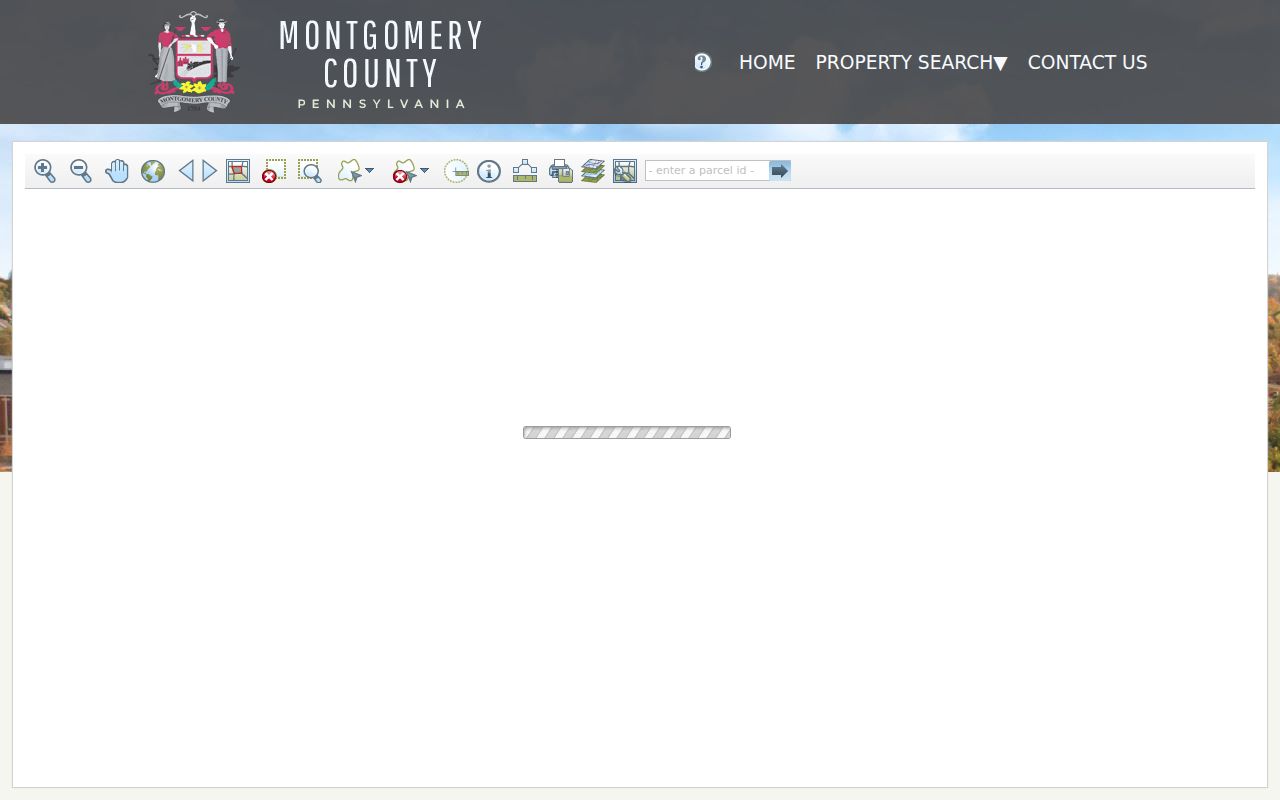
The map screen confirms the parcel-ID, select, buffer, unit, and output controls described above. It can return selected parcel IDs for follow-up in Property Records, not names of every person around a street.
- Parcel
- A county identifier for a specific piece of land, used to join a map selection to property and Recorder records.
- Situs address
- The physical location of the land or building. It is the address key for most county property work.
- Legal description
- The lot, plan, boundary, or subdivision wording in a recorded instrument. It can remain useful when postal labels differ.
- Criss-cross directory
- A historic reverse directory organized by address rather than by surname, when an actual volume exists for the place and year.
Upper Providence Township Street Record Layers
Several custodians hold address-keyed material for Upper Providence Township, but each layer answers a different question. The property record starts a current land trail. The map orients a parcel on the street. Deeds and plans place recorded parties in a chronology. Township planning files can date a project. The voter layer has a separate statutory purpose limit. Reading those sources as interchangeable would make the address trail less accurate.
| Address layer | Keeper | What it can show | Access route |
|---|---|---|---|
| Assessment property record | Montgomery County Board of Assessment Appeals | Address and parcel context through visible live fields | Free address or parcel portal |
| Parcel map | County Property Records / GIS | Geometry, nearby selected parcels, and parcel IDs | Public map interface |
| Deeds, mortgages, and plans | Montgomery County Recorder of Deeds | Transaction parties, dates, and legal descriptions | Account index, counter, or mail request |
| Development and zoning material | Upper Providence Planning and Zoning | Premises, applicant, parcel, plan, and hearing dates | Land-development page, counter, or RTKL |
| Permit or certificate file | Upper Providence Township | Public construction or inspection evidence by request | Targeted records request or inspection |
| Street or Walking List | Pennsylvania election custodians | Defined list fields for permitted purposes | Official request process |
The local tax collector handles current-year Township, county, and school real-estate tax billing, while Montgomery County handles delinquent real-estate taxes. That split can direct a time-specific records request, but no public countywide tax-roll name-and-address search was verified. For a past occupant question, the historical shelves belong on the Upper Providence Township City Directory route, not in a current parcel result.
Upper Providence Township Deed Chain by Street
The Recorder’s index is the Upper Providence Township address trail’s long-form transaction layer. Its record base reaches September 10, 1784. After account creation, the Public Access System supports name, address, parcel, and other criteria. Start with the current acquisition, retain the visible grantor, grantee, document type, recording date, book/page or instrument identifier, parcel ID, and legal-description reference, then search the acquisition grantor as the next grantee. The result is a chain of recorded transfers, not a title opinion and not an occupancy history.
The Recorder Public Access System is the index entry point.
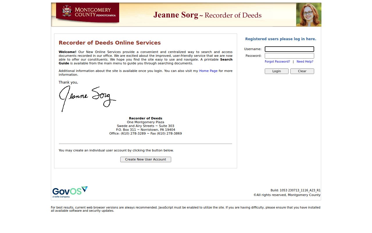
The sign-in and search entry are a useful reminder that document access has separate levels. Account access is required to search, while remote document images need a paid subscription.
Counter access remains a practical alternative. The Recorder provides public search computers at One Montgomery Plaza in Norristown and publishes copies, certification, and written mail-request routes. A mailed request needs the owner name, full address and municipality, parcel ID, book/page if known, and requester contact information; the office can explain procedure by telephone but does not perform a caller’s document search.
Note: A recorded deed can name a trust, estate, company, co-owner, or mailing party, so it must not be read as a list of current occupants.
Upper Providence Township Plans and Book Gaps
Street names sometimes fail to connect an old instrument to a current address. In that case, the legal description and plan reference can do the work. The Recorder says lettered plan books require zero padding, so A-4 becomes A004, and plan records use the PLN volume convention for land-development, condominium, highway, and plan-case material. That convention can link a subdivision lot to an earlier record when the street label is absent or has changed.
The Recorder also publishes ranges that do not exist: Deed Books 1325, 1326, 1377 through 1381, and 1540 through 1544; Mortgage Books 1572 through 1580, 3340, and 3454; and Plan Books 16 through 21. MISC Backfile Books 1 through 131 use the Charter Index, while post-2000 MISC records begin electronically with Book 20. Check those conventions, the prior and next recordings, and the plan description before calling a street history incomplete.
The Recorder’s copy instructions describe the counter and mail alternatives for records that cannot be resolved from remote viewing alone.
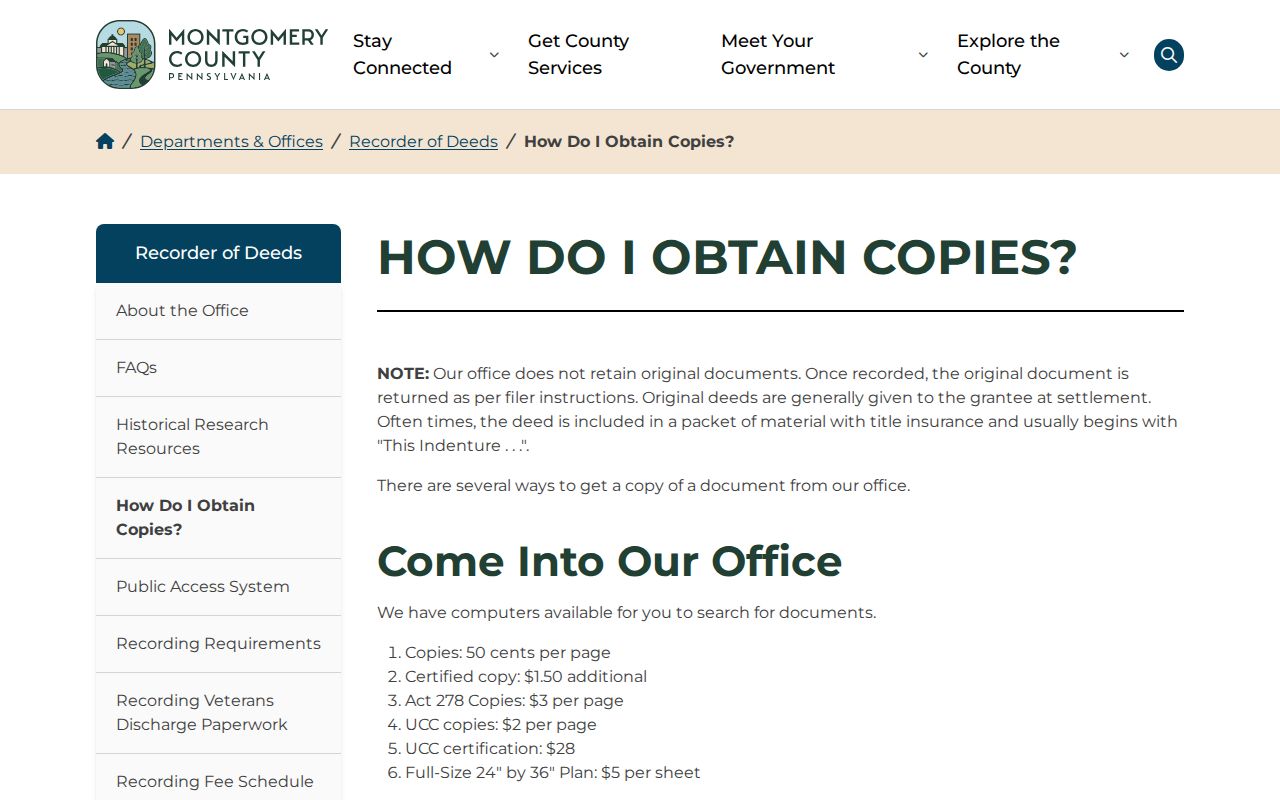
Using the Recorder’s official copy channel helps a researcher obtain the actual document rather than relying on an unsolicited offer for a property profile or deed copy.
Upper Providence Township Street Planning Files
County land records are not the only address evidence. Upper Providence Township Planning and Zoning publishes a street-index map, zoning map, active-development material, ordinance resources, and related planning paths. Public notices can identify a premises, applicant, parcel, bounding roads, and hearing date. Those details help date a project or locate a plan file, but an applicant or developer is not automatically a resident of the address.
No public municipal permit-name search or online permit-result index was located. For an existing public record, use the Township’s Right-to-Know request route with the property address, date range, and record type, such as a final permit, certificate, approved plan, or inspection log. The Township requires appointments for inspection and explains that a request must identify records rather than ask staff to research a person.
Upper Providence Township Street Lists Have Limits
Pennsylvania recognizes election-district street lists, but they are not an open web address guide. Under 25 Pa.C.S. §§ 1207, 1403, and 1404, a requester seeking registration material must provide identification and certify in writing that the information will not be used for purposes unrelated to elections, political activities, or law enforcement. A Street List can include name, residential or mailing address, party, and status. A Walking List omits the mailing address. The state’s individual registration-status tool is for checking a person’s own status, not browsing a road.
The Department of State voter-list request form sets out the request choices and certification. For district and polling questions, Upper Providence election information and Montgomery County Voter Services are the official channels.
Note: Registration data can be legally protected through Pennsylvania’s Address Confidentiality Program, so a missing or substitute address should be respected.
Upper Providence Township Street Name Context
Older records can place the same area under several names. The Township history identifies Trappe as Landau, Collegeville as Perkiomen Bridge and then Freeland, and Port Providence as Jacobs and then Lumberville. Arcola, Oaks, and Yerkes are also railroad-era place names. A deed, tax list, census, or directory may foreground one of those labels rather than “Upper Providence Township.” Search a historic property with its village name as well as the present address, then use the parcel and legal description to make the match.
The Township history is the source for those historic place-name variants. No official source located a Township-wide street-renumbering date, so a changed number should be treated as a record-specific question rather than a presumed municipal conversion.
Upper Providence Township Street Directory Limits
An official address reference can help follow land, recorded transaction parties, public planning files, and constrained election records. It cannot establish every household member, private utility customer, driver address, or current physical presence at an address. A mailing address may belong to an agent, a post-office box, a business, or an owner who lives elsewhere. A parcel map gives geography. A deed gives a legal transaction. Neither alone answers who is inside a home today.