
Upper Providence Neighbor Records
Public information about Upper Providence Township neighbors is a set of narrow property and history sources. The County map establishes parcel geography. The property record supplies the parcel and current property context. The Recorder supplies parties to recorded documents. None of those sources is a roster of the people inside a home. The distinction matters on every Upper Providence Township block.
| Block source | What it can show | How to use it |
|---|---|---|
| County parcel map | Lot position, nearby parcel IDs, and proximity | Use selection and a limited buffer |
| County property record | Situs address and current property-record context | Search by address or parcel |
| Recorder document index | Recorded transfer parties and document history | Use an actual document context |
| Township notices and plans | Premises, project applicant, hearing, or plan date | Read as a project record, not a household list |
| Library and historical sources | Past address or community context | Confirm exact holdings and years |
An owner of record may use a different mailing address, act through a trust, or have no connection to present occupancy. A grantor or grantee is a transaction role. Upper Providence Township neighbors therefore require a careful description of what the source actually says.
Upper Providence Parcel Buffer
The Montgomery County Property Records Map Search supports the responsible block method. Find a known parcel by its identifier or map location, select it, and use only the nearby selection needed for the question. The visible map controls include a Parcel ID field, select and unselect tools, a buffer distance that displays 100 as its default, feet or meters, and choices to buffer parcel center points or polygons.
For parcels that touch or sit close to a lot, polygons are usually a more faithful choice than center points. Read the selected parcel identifiers, then return to the County property record one parcel at a time. The map does not return residents, utility users, or delivery data. It is a land-navigation tool for Upper Providence Township neighbors.
Map an Upper Providence Block
The flow stays deliberately small: address or parcel → selected nearby parcels → County property context → recorded document only when needed. It helps answer a boundary, property-history, or immediate-block question without treating proximity as permission to build a people list.
- Enter the known Upper Providence Township address or parcel, preserving the municipality 61 setting and exact street form.
- Use a small map selection or buffer to identify only immediate parcel IDs around that location.
- Open each parcel through the address-or-parcel property route and record its situs and legal-property context.
- If a transfer history matters, search the Recorder with the parcel, address, or a documented party name after creating an account.
- Stop at the parcel question. For a full named-street record trail, use the Upper Providence Township streets page instead.
A mailing address shown on a property card can be a post-office box, office, agent, or alternate address. It should never be presented as proof that a person lives at the property.
Recorded Parties Near Neighbors
The Recorder of Deeds extends the parcel trail when a recorded transfer matters. Its Public Access System has records dating to September 10, 1784 and accepts name, address, parcel, and other criteria after account setup. Remote images require a subscription, while public search computers at the Recorder counter and a written mail-copy route remain available. Record the document number, recorded date, grantor, grantee, and legal description, then label each party by the role shown.
Montgomery County’s published plan conventions can clarify an Upper Providence Township subdivision record. A lettered plan book uses a three-digit numeric form, such as A-4 becoming A004, and plan volumes use PLN. The Recorder also publishes certain missing book ranges. A gap can be a book-format issue rather than missing history.
Upper Providence Voter List Limits
Pennsylvania’s individual voter-status route is for a person checking their own registration, not browsing Upper Providence Township neighbors. A statutory Street List or Walking List goes through the Department of State request process. The requester supplies identification and a written certification that the data will be used only for elections, political activities, or law enforcement. The full export route has a stated $20 charge, while the actual list types carry different fields.
Even a permitted list does not describe every resident. It covers registration information, not household membership or ballot choices, and Address Confidentiality Program participants can use substitute addresses. A street list must not be repurposed into an unrestricted block roster.
Community Sources for Neighbors
No official Upper Providence Township source in the research published a current HOA, civic-association, alumni, or funeral-home membership directory. That absence is useful information. It means a public block inquiry should not assume a roster exists or ask private groups to disclose member contacts.
| Historical Society of Montgomery County | Upper Providence collection, related Royersford material, and historical local information, not a current-neighbor list. |
|---|---|
| Township history resources | Village and place-name context for old block research, including canal and railroad communities. |
| Private congregational and civic groups | Use only a directory the group itself publicly publishes. Membership records remain private. |
For a past block, ask an archivist or librarian for a named street, village label, and date range. This is more accurate than assuming that a modern community name has always covered the same streets.
Official Records and Neighbor Tools
Official sources and commercial neighbor products answer different questions. The former show their custodian and record role. The latter may combine data from unknown sources or refresh on an unclear schedule. A documented parcel map and Recorder entry are preferable when a reader needs to understand a specific Upper Providence Township property trail.
| Official record route | Commercial neighbor category |
|---|---|
| Shows parcel, document, or agency context with defined access rules. | May merge records of unknown date and provenance. |
| Supports direct confirmation with the County, Township, or Recorder. | Cannot replace custodian verification. |
| Limits the result to a documented role. | May blur owners, past parties, and unrelated people. |
Township Notices Around a Block
Township planning and zoning notices can explain a change near Upper Providence Township neighbors. A notice may identify a premises, parcel, applicant, hearing date, or bounding roads. The Parkhouse conditional-use example uses parcel 61-00-01252-12-7 and boundary roads, showing how a developing site can be connected to County parcel records before a conventional address is stable. It does not establish who lives nearby.
The Pennsylvania Right-to-Know Law citizens’ guide explains the records-request fallback when a public Township record is not posted online. A request should name the premises, date range, and record type. The custodian decides what can be released or redacted.
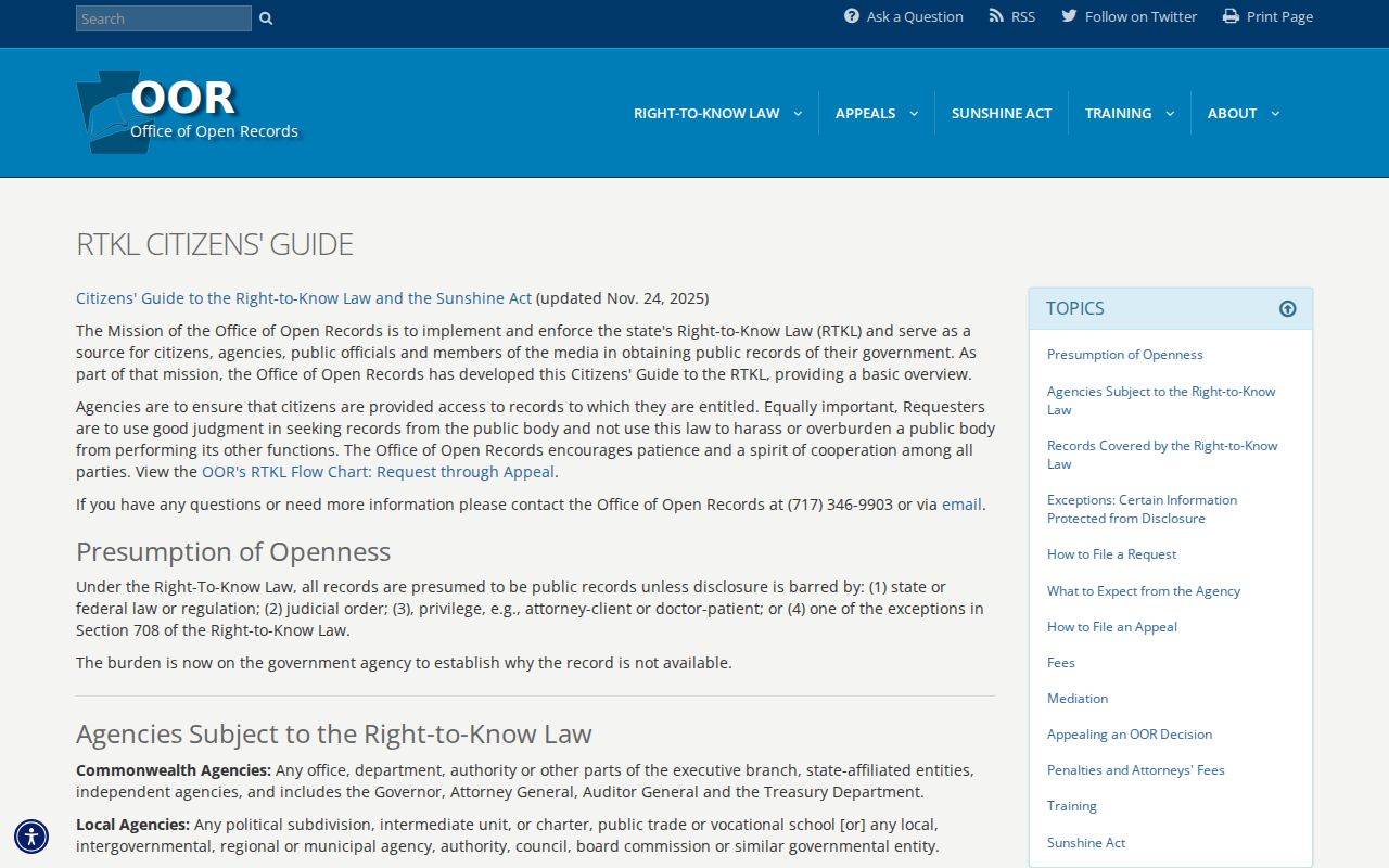
A scoped request for a plan, permit, or hearing file is more useful than asking the Township to identify people around an address.
Safety Checks for Neighbors
Public-safety systems have narrow coverage. The Pennsylvania DOC Locator covers people currently under Department of Corrections jurisdiction or supervision. It does not cover county, federal, or other-state custody. The official Montgomery County Corrections page does not provide a public county name-search roster, so a DOC result should never be treated as a complete local custody answer.
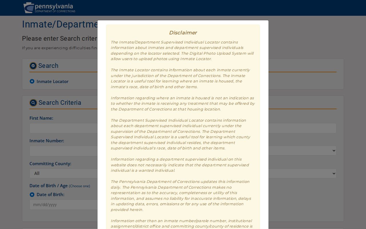
Use the locator only for its stated public-safety purpose and do not combine a return with unrelated block data to construct a profile.
Respect Neighbor Lookup Privacy
Upper Providence Township property and map records do not expose occupants, private memberships, utility information, or delivery information. ACP substitute addresses, sealed court files, restricted voter material, and protected government records are not gaps to work around. Direct the question to the correct office, preserve the source’s limits, and ask a custodian about an apparent error instead of republishing it.
The February 2026 Pennsylvania Attorney General warning on forged deed and title-transfer schemes is a useful reason to verify a document directly. Pair a Recorder document review with the County’s free FraudSleuth alert service, which the Recorder recommends configuring with a parcel ID.
The Attorney General’s property-scam warning shows why an official document check matters.
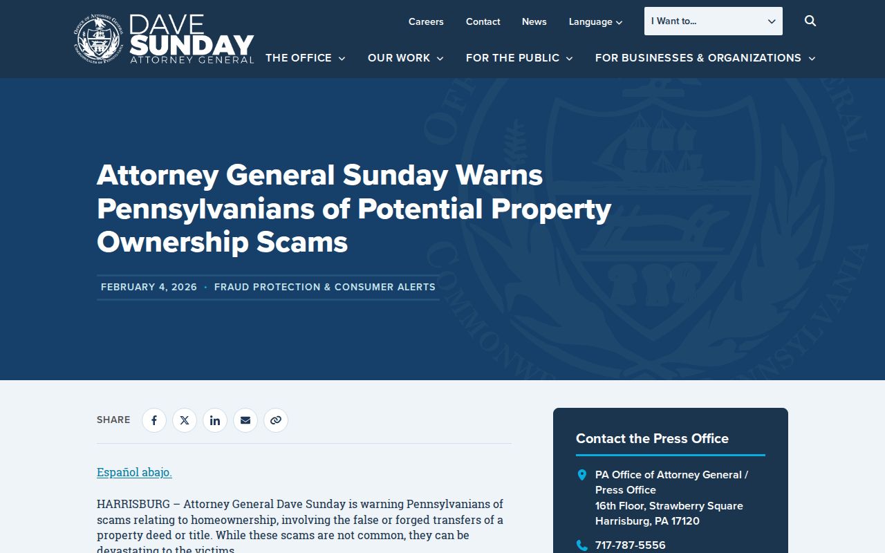
When a recorded transfer looks suspicious, contact the Recorder or the official consumer-protection channel rather than confronting someone or relying on a neighbor search.